The Great Smoky Mountain Journal
Staff, Wire Reports
Posted: Monday, December 31, 2018 04:29 PM
"Bomb Cyclone" Set To Dump Snow, Ice Across East Coast Today Then Blast New England
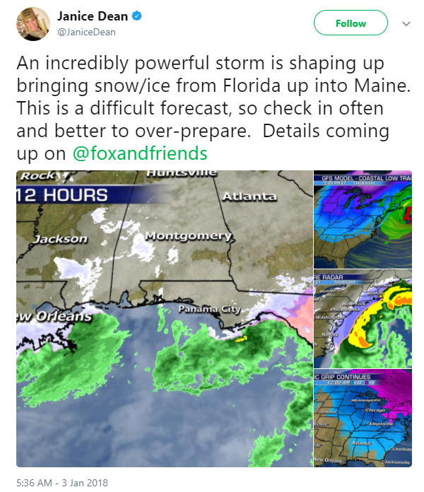
A "bomb cyclone" is set to dump snow
and ice Wednesday across parts of the East Coast that rarely see winter
weather, the latest bombardment of frigid weather that's brought
freezing temperatures to vast portions of the United States.

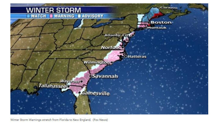
The National Weather Service said Wednesday a mix of snow and freezing
rain was expected to move across along the East Coast from Florida to
North Carolina before rapidly strengthening at sea.

The weather service warned a so-called “bomb cyclone” will bring
“blizzard conditions" across portions of eastern New England late
Thursday.
"This winter storm is forecast to bring the potential for a mix of freezing rain/sleet/snow from portions of northern Florida to North Carolina, and snowfall northward along portions of the Mid-Atlantic into northern New England," the NWS said in an advisory.
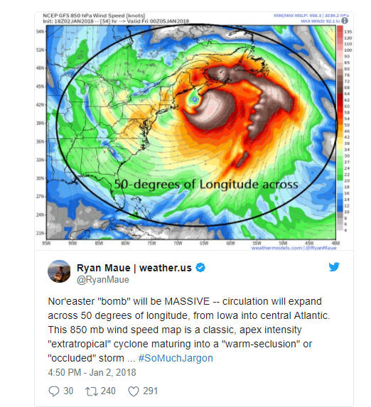
According to the National Oceanic and Atmospheric Administration,
bombogenesis or bomb cyclone “occurs when a midlatitude cyclone rapidly
intensifies, dropping at least 24 millibars over 24 hours. A millibar
measures atmospheric pressure."
"This can happen when a cold air mass collides with a warm air mass,
such as air over warm ocean waters. The formation of this rapidly
strengthening weather system is a process called bombogenesis, which
creates what is known as a bomb cyclone,” NOAA said.

